
Файл:OttomanEmpire1801.jpg
Оригинален файл (1638 × 1296 пиксела, големина на файла: 605 КБ, MIME-тип: image/jpeg)
| Този файл е от Общомедия и може да се използва от други проекти.
Следва информация за файла, достъпна през оригиналната му описателна страница. |

Резюме
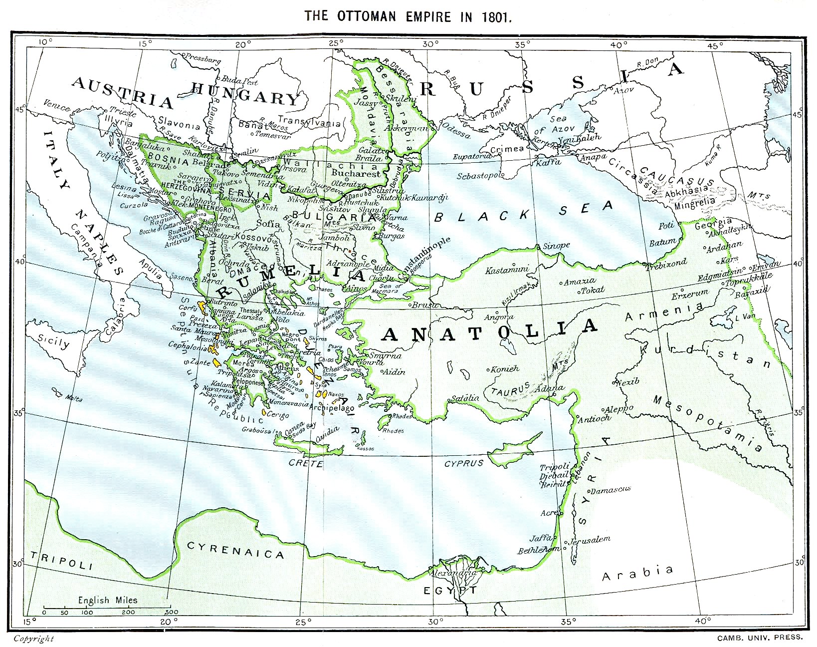
Ottoman Empire (green) and Septinsular Republic (yellow) in 1801.
Лицензиране
|
Това произведение е обществено достояние в държавите, в които срокът на авторското право е 70 години или по-малко след смъртта на автора.
| |
| This file has been identified as being free of known restrictions under copyright law, including all related and neighboring rights. | |
История на файла
Избирането на дата/час ще покаже как е изглеждал файлът към онзи момент.
| Дата/Час | Миникартинка | Размер | Потребител | Коментар | |
|---|---|---|---|---|---|
| текуща | 16:06, 11 януари 2023 | | 1638 × 1296 (605 КБ) | Enyavar | Reverted to version as of 08:56, 11 March 2006 (UTC) --> even if they are wrong, don't change historical maps! |
| 17:48, 3 февруари 2014 |  | 1638 × 1296 (518 КБ) | Spiridon Ion Cepleanu | Some little changes according with the 1801 situation : The Septinsular Rep. includes Ionian Is., not the Cyclades, Serbia became autonomous 1817... | |
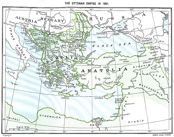
| 08:56, 11 март 2006 |  | 1638 × 1296 (605 КБ) | Julo | Ottoman Empire (green) & Septinsular Republic (yellow) in 1801, on the 19th century map {{PD-old}} category:19th century mapsCategory:Historical maps of the Middle EastCategory:Historical maps of the Balkans[[Category:Historical maps of Africa |
Използване на файла
Няма страници, използващи файла.
Глобално използване на файл
Този файл се използва от следните други уикита:
- Употреба в azb.wikipedia.org
- Употреба в ba.wikipedia.org
- Употреба в el.wikipedia.org
- Употреба в en.wikipedia.org
- Употреба в fr.wikipedia.org
- Употреба в hy.wikipedia.org
- Употреба в la.wikipedia.org
- Употреба в pl.wikipedia.org
- Употреба в sq.wikipedia.org
- Употреба в sv.wikipedia.org
- Употреба в uk.wikipedia.org