
Файл:Corte Madera California aerial view.jpg

Размер на този преглед: 800 × 534 пиксела. Други разделителни способности: 320 × 214 пиксела | 640 × 427 пиксела | 1024 × 683 пиксела | 1500 × 1001 пиксела.
Оригинален файл (1500 × 1001 пиксела, големина на файла: 807 КБ, MIME-тип: image/jpeg)
| Този файл е от Общомедия и може да се използва от други проекти.
Следва информация за файла, достъпна през оригиналната му описателна страница. |
| Описание |
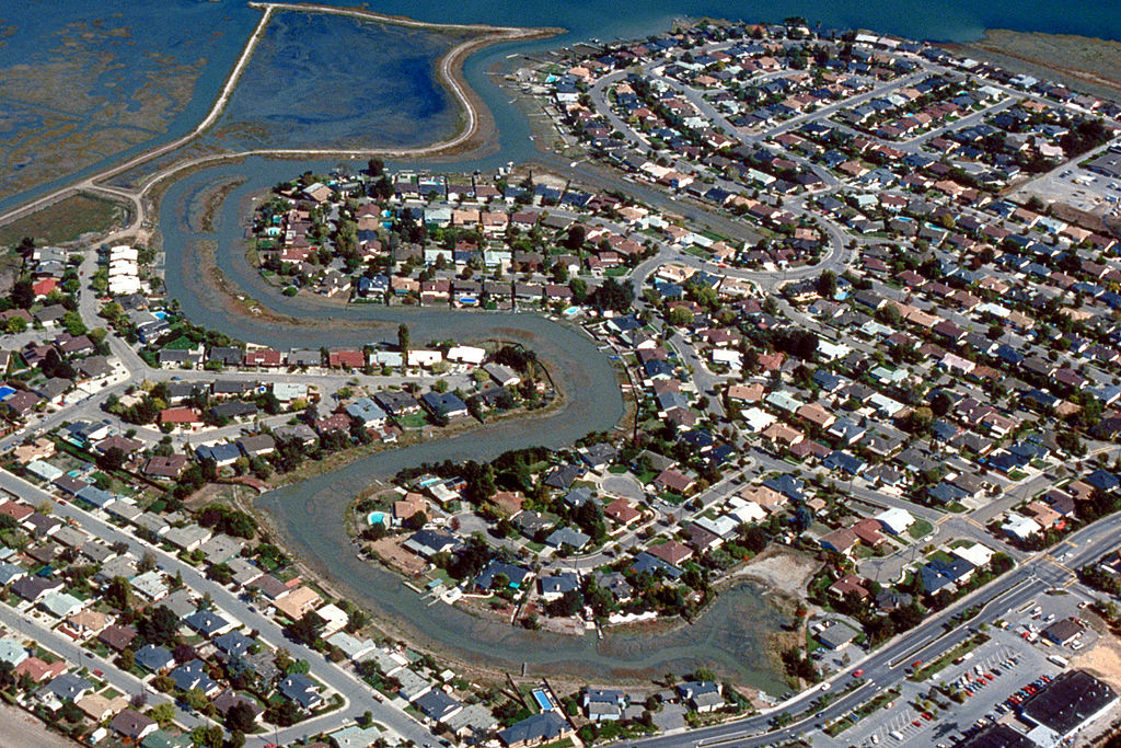
English: Aerial view of the Meadowsweet area of Corte Madera, California, USA. The city lies on the western side of upper San Francisco Bay. San Clemente Creek winds through the neighborhood. Paradise Drive is visible at the bottom of the picture. View is to the northeast.
Coordinates: 37°55′20.21″N 122°30′14.16″W / 37.9222806°N 122.5039333°W |
|||
| Location | Corte Madera, California, USA | |||
| Дата | not specified or unknown | |||
| Източник |
U.S. Army Corps of Engineers Digital Visual Library Image page Image description page Digital Visual Library home page |
|||
| Автор | Robert Campbell, U.S. Army Corps of Engineers | |||
| Права (Повторно използване на файла) |
|
История на файла
Избирането на дата/час ще покаже как е изглеждал файлът към онзи момент.
| Дата/Час | Миникартинка | Размер | Потребител | Коментар | |
|---|---|---|---|---|---|
| текуща | 01:57, 3 май 2007 | | 1500 × 1001 (807 КБ) | DanMS | {{Information | Description = {{en|Aerial view of the Meadowsweet area of Corte Madera, California, USA. The city lies on the western side of upper San Francisco Bay. San Clemente Creek winds through the neighborhood. Paradise Drive is visible at the b |
Използване на файла
Следната страница използва следния файл:
Глобално използване на файл
Този файл се използва от следните други уикита:
- Употреба в ar.wikipedia.org
- Употреба в cs.wikipedia.org
- Употреба в en.wikipedia.org
- Употреба в es.wikipedia.org
- Употреба в fa.wikipedia.org
- Употреба в it.wikipedia.org
- Употреба в pl.wikipedia.org
- Употреба в pt.wikipedia.org
- Употреба в sh.wikipedia.org
- Употреба в sr.wikipedia.org
- Употреба в uz.wikipedia.org